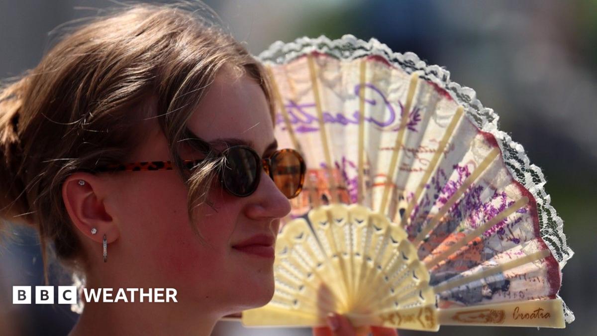
“A red warning for extreme heat remains in place for the south-east but cooler air is starting to move in from the west,” Elizabeth Rizzinni says.
The red heat warning remains in force for parts of the south-east. The red heat warning aims to alert people, services and employers to the higher-than-usual risk of heat-related illness and disruption. Forecasters say cooler air is progressing eastwards from the west, which may gradually ease conditions but will not immediately remove risk.
What the red heat warning covers
The red heat warning covers zones in the south-east identified by meteorological authorities as being most exposed to prolonged high temperatures. The warning signals an increased likelihood of widespread impacts that can affect health, transport and critical services.
Reporter Elizabeth Rizzinni summarised the situation and the decision to keep the warning in place while cooler air moves in from the west. The message to communities inside the warning area is to take precautionary measures now and to follow updates from official sources.
Why it matters
Extreme heat can have direct and indirect effects on daily life. Directly, people can suffer heat exhaustion or heatstroke, particularly older adults, infants, pregnant people and those with long-term health conditions. Indirectly, very hot conditions can increase pressure on health services, complicate travel and make outdoor work hazardous.
A red heat warning indicates a higher chance of these impacts becoming widespread. That can mean more ambulance call-outs, heightened demand at hospitals, and disruptions to transport if tracks, roads or signalling equipment are affected. The warning is intended to prompt early action by individuals and organisations to reduce avoidable harm.
Where cooler air is coming from
Forecasters say the cooler air influencing the outlook is arriving from the west. This change in air mass is expected to change temperatures and humidity over time, pushing cooler conditions eastwards into areas currently under the red heat warning.
The timing and speed of that change will vary locally. In practice, residents in the south-east should expect a gradual easing of heat rather than an immediate drop; some places may experience a marked change sooner, while others will remain hot until the cooler flow becomes established.
Immediate actions and safety tips
When a red heat warning is in force, straightforward steps can reduce health risks and limit disruption. Keep guidance simple and act now:
- Stay hydrated: carry water, drink regularly and avoid large amounts of alcohol or caffeine during the hottest parts of the day.
- Stay cool indoors where possible: close blinds or curtains on sun-facing windows and, if safe, use fans or cooling aids.
- Avoid strenuous activity during peak heat: postpone heavy outdoor exercise or work to cooler hours in the morning or evening.
- Look out for vulnerable people: check on older neighbours, people with medical conditions and infants who are less able to regulate body temperature.
- Never leave people or pets in parked vehicles: temperatures inside cars can rise rapidly to dangerous levels.
- Plan travel with flexibility: heat can affect roads and public transport, so allow extra time and check operator updates.
These practical measures help reduce the immediate risk while the warning is active and while cooler air is still moving in.
What comes next and where to check
Forecasts and warnings will be updated as conditions evolve. The arrival of cooler air from the west may prompt a downgrade or end to the red heat warning when forecasters are confident that risk levels have fallen.
Authorities may reissue guidance for specific sectors, such as transport operators or care services, so organisations should follow sector-specific bulletins as well as general forecasts. Elizabeth Rizzinni’s reporting emphasises that while relief is on the way, the public should not assume immediate improvement.
Background and context
Red warnings are reserved for weather expected to have significant impacts on people and infrastructure. They are not issued lightly: the purpose is to foster heightened preparedness among the public, businesses and emergency services.
How quickly the south-east moves out of red-warning conditions depends on the interaction between the hot air mass currently in place and the cooler air advancing from the west. Local and regional variations mean some communities will see relief earlier than others.
Source and credits
New red heat warning in place but cooler weather on the way — report by Elizabeth Rizzinni, BBC. For the original report and full details, see: https://www.bbc.co.uk/weather/articles/ceqd0701j44o?at_medium=RSS&at_campaign=rss
Reporting and guidance in this article are based on the BBC piece and statements from Elizabeth Rizzinni. Follow local authorities and official meteorological services for live updates.